Leg 1: Run
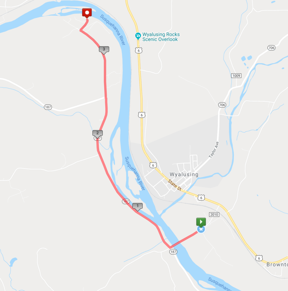
Run 3.6 miles. Paved, mostly flat, with few inclines. From the High School, across the “River Bridge,” and to the Terrytown River Access.


Leg 2: Paddle
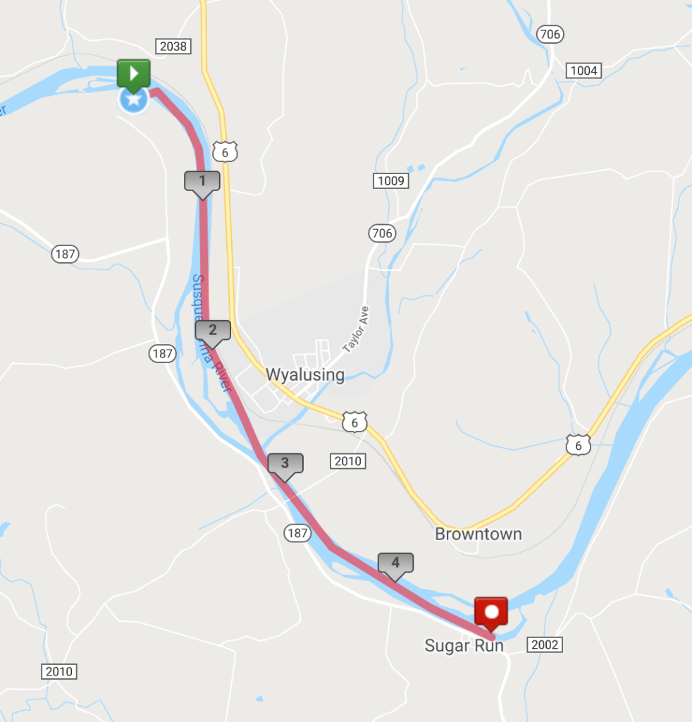
Paddle 4.6 miles. Smooth sailing down the North Branch of the Susquehanna River, named Pennsylvanias “2015 River of the Year.” From Terrytown Access to Sugar Run Access.


Leg 3: Bike
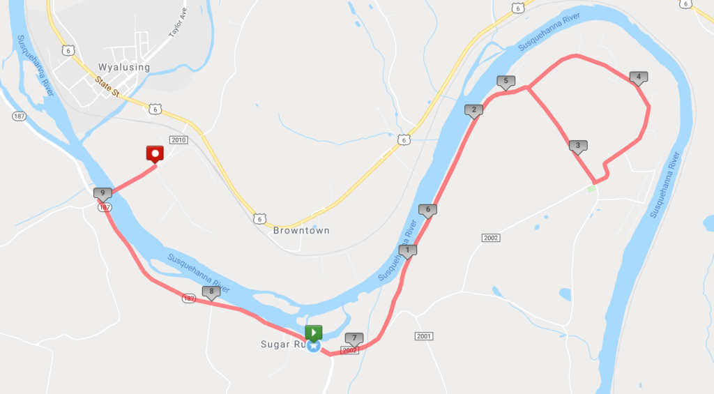
Bike 15.3 miles. Paved, beginning flat with a winding, mostly steady incline to the turn-around point. From Endless Mountain Outfitters to the STOP sign in Stowell and back, finishing at the High School.

